System Operational·Updated Hourly
Amrita Vishwa Vidyapeetham

AmritaKripa
Dynamic Regional
Multi-Hazard Risk Management
Geospatial Platform

Monitor·Anticipate·Manage

Real-time geospatial intelligence for landslide, flood, and extreme rainfall risk across India's most vulnerable regions.

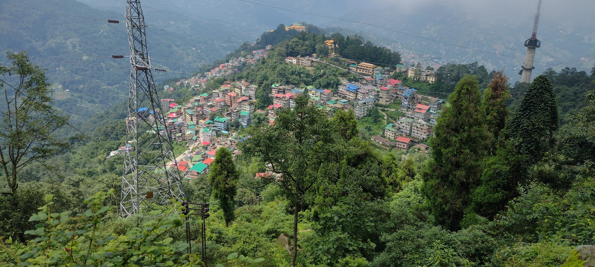
Wayanad, KeralaIdukki, KeralaKodagu, KarnatakaGangtok, East Sikkim
4
Active regions
6
Rainfall intervals tracked
79+
Landslide inventory points
1 hr
Update frequency
Gram Panchayat
Level risk resolution

What the Platform Does

An integrated geospatial environment combining real-time satellite feeds, AI-driven risk modelling and operational decision-support tools for disaster risk reduction.

Integrated Visualization

  • Real-time satellite and weather feeds
  • Live regional hazard inventories
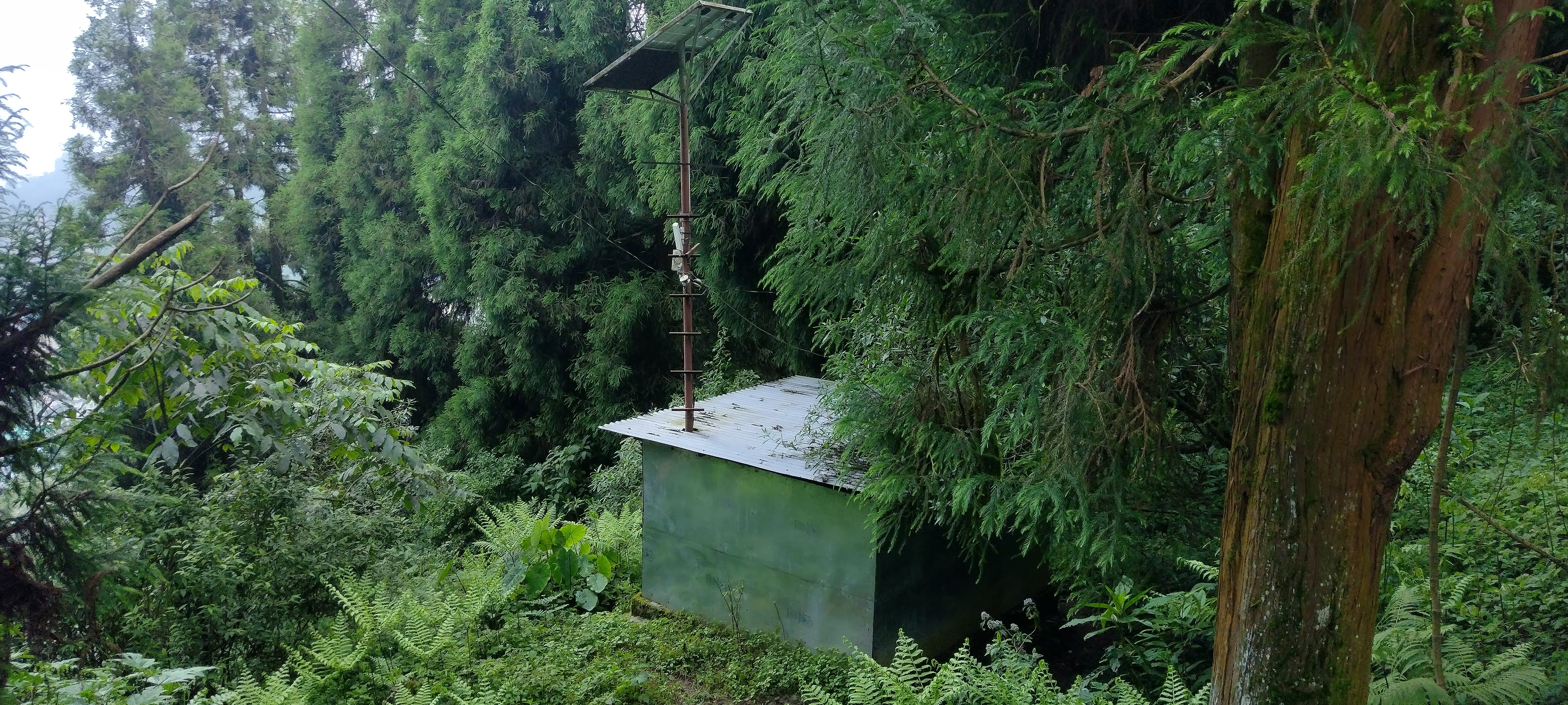
  • Automated weather station integration

Dynamic Risk Mapping

  • Automated susceptibility analysis
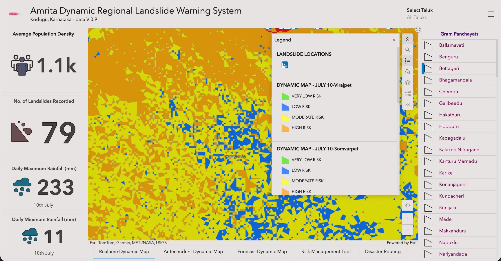
  • Dynamic risk heatmaps updated hourly
  • Terrain, geology and land-use fusion

Hazard Trigger Tracking

  • Real-time rainfall threshold detection
  • 1 to 15 day antecedent rainfall windows
  • Soil saturation and slope instability alerts

Operational Decision Support

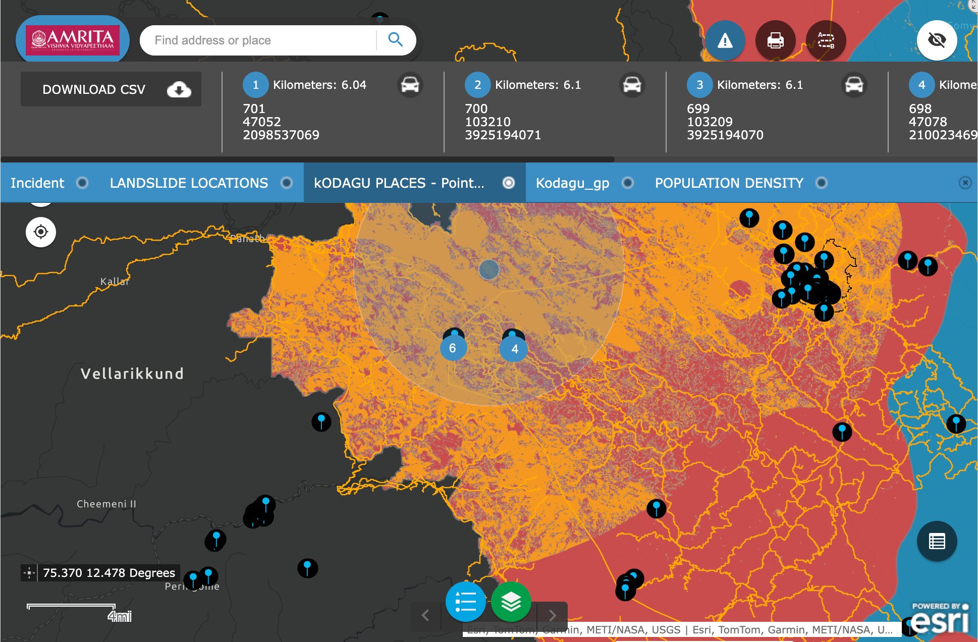
  • Evacuation routing and preparedness tools
  • Incident simulation and buffer analysis
  • CSV export for at-risk zone features

Get Started

Publicly available

Mobile App

A citizen-science mobile app for real-time hazard awareness, alerts and post-disaster support in at-risk regions.

  • Real-time hazard notifications
  • Local risk level display
  • Evacuation route guidance
  • Incident reporting & request/offer emergency support
Authorised access

AmritaKripa WebGIS Platform

Decision-support environment for authorised district officials and emergency response departments.

  • Gram panchayat-level risk maps
  • Antecedent and real-time analysis
  • Incident simulations
  • Operational planning and response support