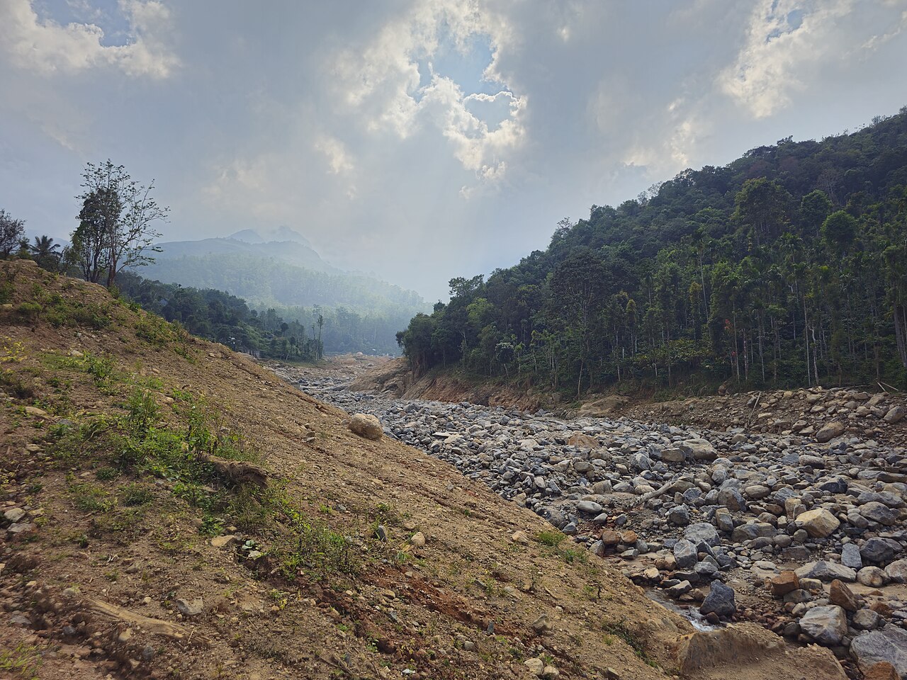
Wayanad
KeralaLiveThe flagship deployment covering Kerala's most landslide-affected district, with landslide inventory tracked across 25+ villages through hourly threshold, deviation and final risk maps.

AmritaKripa is live across four hazard-prone districts spanning three states. Real-time rainfall, terrain and landslide-inventory data are combined into a single regional risk picture, refreshed hourly.
The flagship deployment covering Kerala's most landslide-affected district, with landslide inventory tracked across 25+ villages through hourly threshold, deviation and final risk maps.
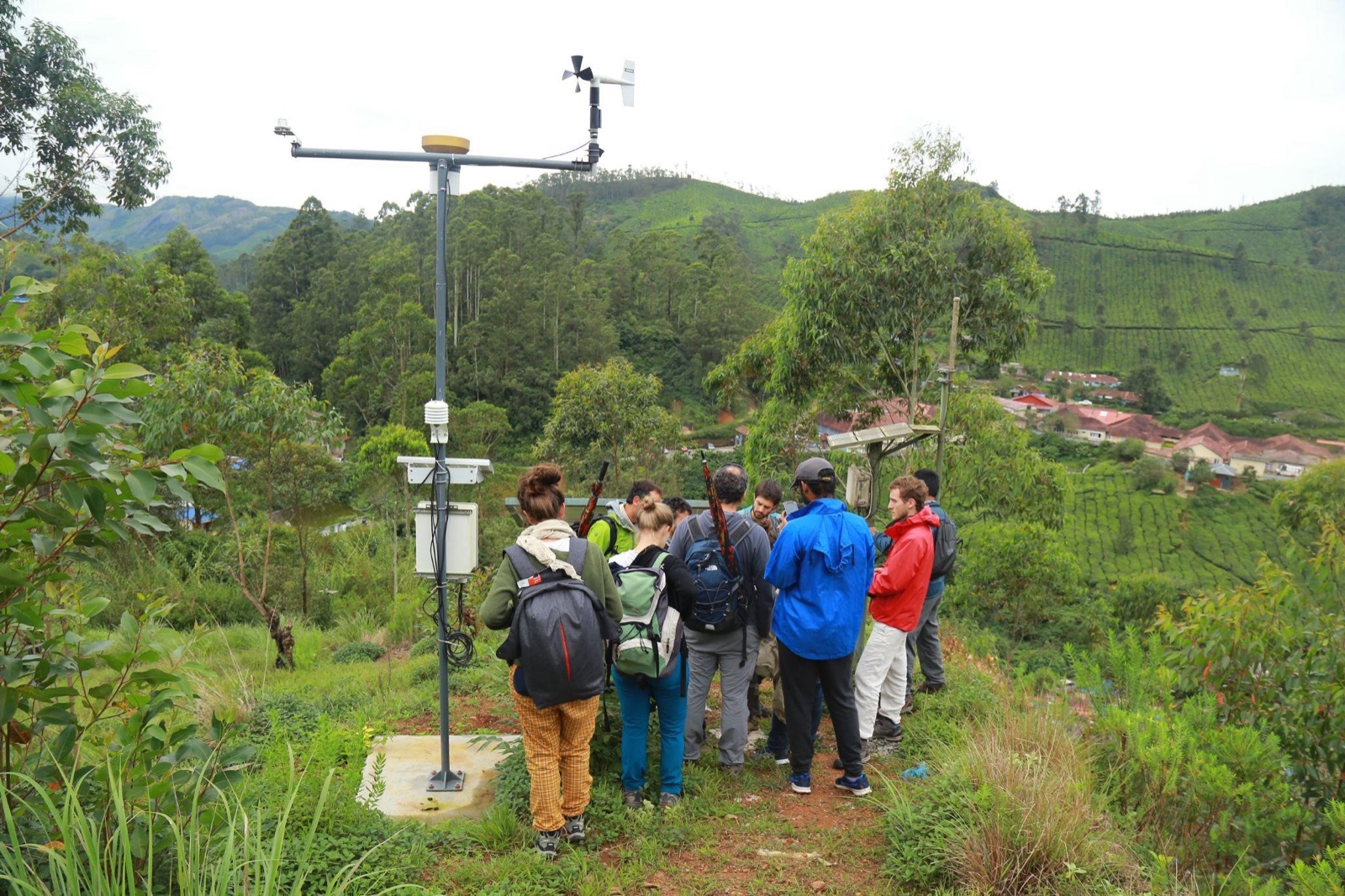
High-elevation plantation district with steep terrain and reservoir catchments, monitored for slope instability and rainfall-triggered landslide risk across gram panchayats.
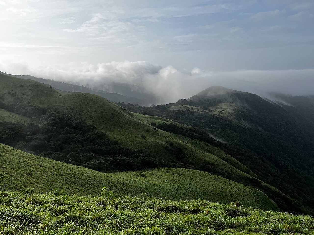
Western Ghats district mapped across the Virajpet and Somvarpet taluks, combining landslide inventory, population density and dynamic susceptibility layers for field response.
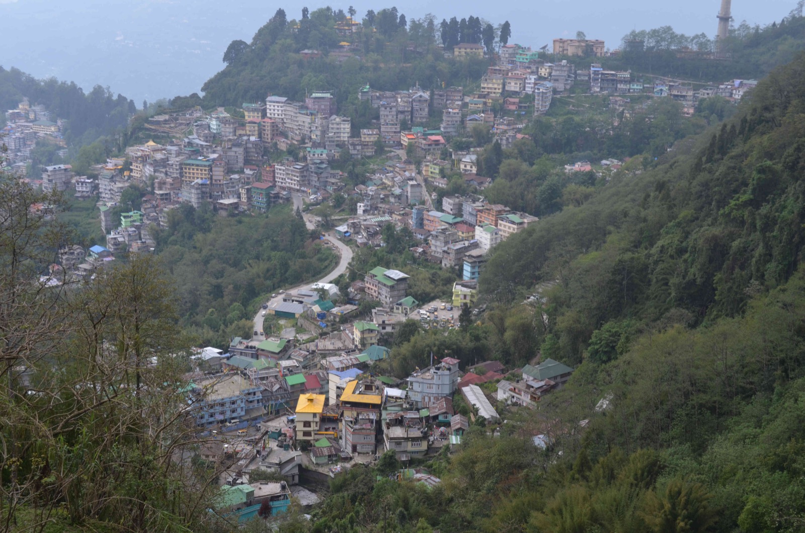
Steep, densely populated slopes around Gangtok, Sikkim's capital, tracked for rainfall-triggered slope instability, with risk zones supporting local response teams.
Beyond real-time monitoring, AmritaKripa also models specific past events in detail, replaying rainfall and slope-failure conditions for pre-disaster planning and response drills.
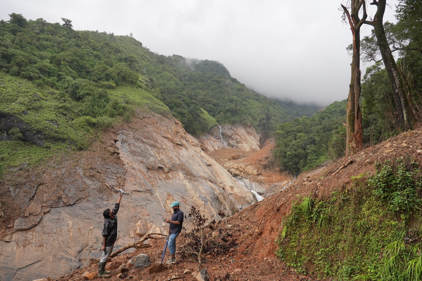
Models the July 2024 Chooralmala–Mundakkai landslide sequence, replaying rainfall and slope-failure conditions for pre-disaster planning and response drills.
Launch Scenario ↗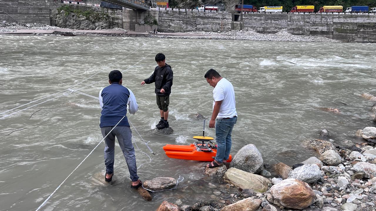
Models the October 2023 South Lhonak glacial lake outburst flood along the Teesta corridor, for scenario-based planning of downstream flood and infrastructure risk.
Launch Scenario ↗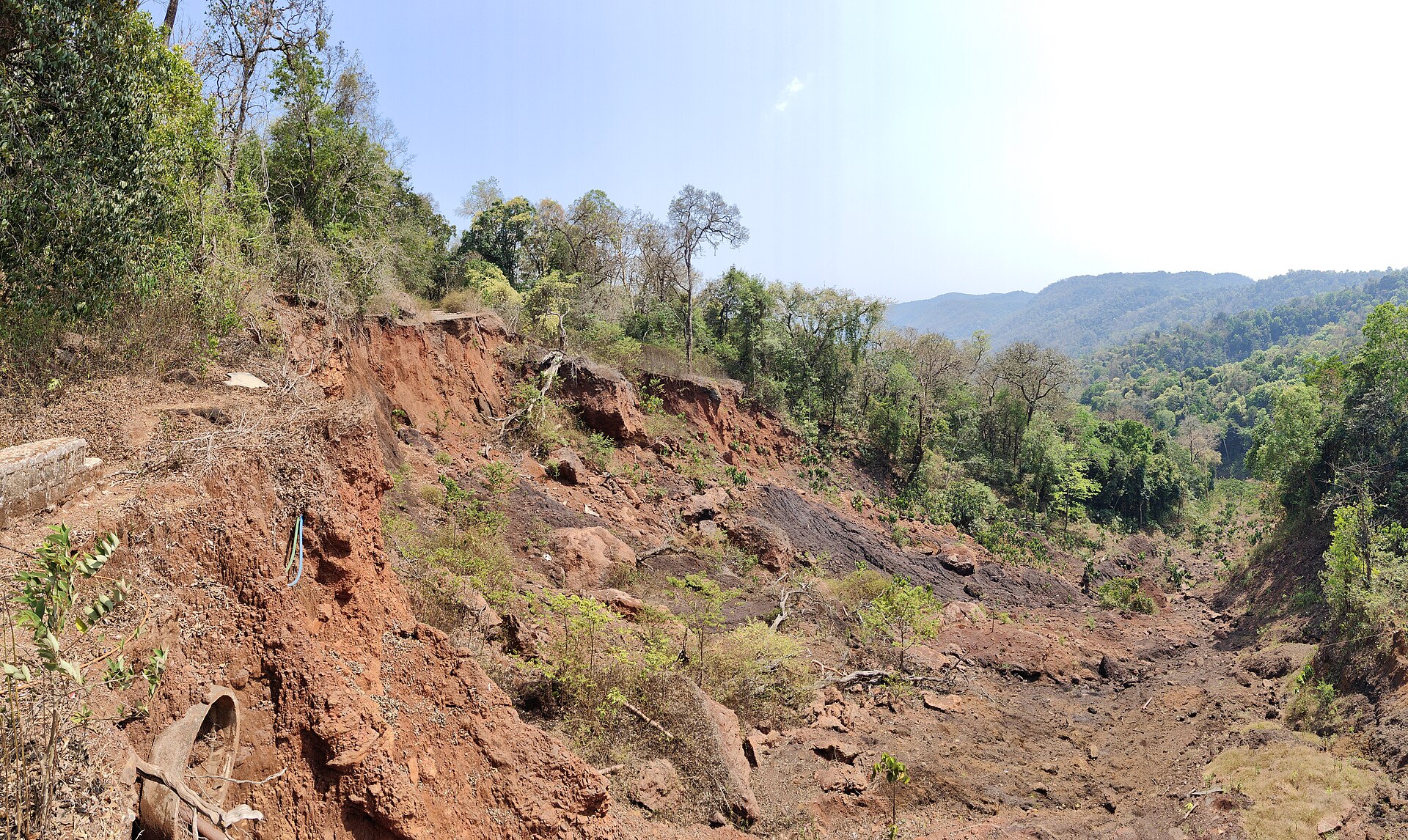
Models sustained monsoon rainfall conditions across Kodagu's Virajpet and Somvarpet taluks, for scenario-based landslide planning and response drills.
Launch Scenario ↗Kodagu monsoon scenario photo · Rohitjahnavi, Yellapur landslide, Western Ghats, Karnataka. Wikimedia Commons, CC BY-SA 4.0.
Request platform access for your department or organisation. We allow up to two accounts per entity.